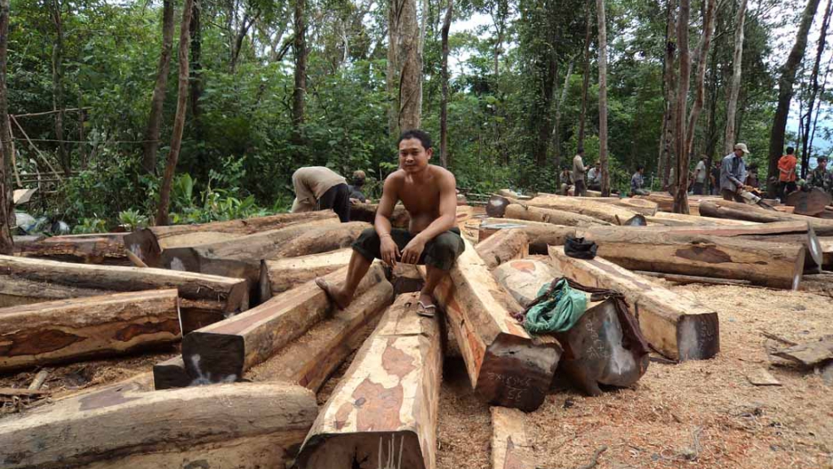
Cambodia has seen a 23 percent decrease in tree cover since 2000 according to Global Forest Watch. As part of this, the country lost almost half of its dense old-growth forests: 3 million hectares, an area the size of Denmark. More than half of Cambodia is now non-forested.
Against this backdrop, two NGOs, a Danish university and Cambodian partners developed the Prey Lang app, or PL app for short, which launched in February 2015 in the Prey Lang Forest as a way to help the local patrollers keep track of their findings, expose the crimes in their landscape and inform policy changes. This February, the same group of partners expanded the app to also include the Preah Rokar Forest.
More than 100 local patrollers – a mix of men, women and youth – now use the PL app to monitor the forests, with many trained by the partners in data collection and peaceful conflict resolution, in the case that encounters with loggers don’t go smoothly.
“From a project perspective, we are aiming to work with more communities inside Cambodia but also globally,” says Dimitris Argyriou, a project and data manager affiliated with the University of Copenhagen. “From a technological point of view, we would like to harness the power of satellite imagery in order to make more informed decisions regarding areas of patrolling and also to enhance the power of our collected data.”
The rangers patrol the forest on motorbikes listening for the sounds of chainsaws or other activity, then quietly proceed on foot to the source. The app then records sounds, photos and GPS coordinates to provide documented proof of illegal operations.
Since the app’s launch, roughly 24,000 entries have been made through the app, with nearly half of them further validated by data managers at the University of Copenhagen. Duplicate entries and entries lacking proper photographic documentation or with technical problems are rejected.
