

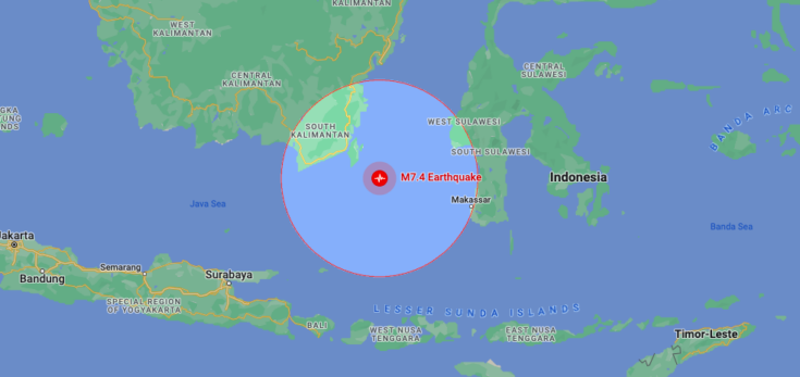
A magnitude-7.1 earthquake occurred in Southern Indonesia around the Bali Sea at 3:55am on 29 August.
The quake’s epicentre was 203 km north of Mataram, Indonesia, and 516 km deep below the Earth’s surface, according to EMSC.
The earthquake was reported with weak-to-moderate shaking in parts of Banyuwangi, Bali, and Lombok. Authorities might be able conduct some damage in remote ares – but no initial reports of damage has been made yet. A tsunami advisory has also not been prompted.
If transportation infrastructure has been shut down during the day, it could be because officials would have had to check trails for potenial damage, perhaps meaning minor disruptions for travelers.
However, aftershocks are likely to happen during the next couple of days. Here is how one can prepare themselves for an aftershock:
https://www.tsunami.gov/events/PHEB/2023/08/28/23240000/1/WEPA42/WEPA42.txt